France will look smaller on official diplomatic maps following a United Nations resolution encouraging a shift away from the traditional Mercator projection, according to Euronews.com.
The change, reported by Euronews.com and other outlets, stems from a UN resolution adopted to promote a more realistic representation of the world. French authorities have decided to align with this guidance, meaning the country's official cartography will no longer rely on the Mercator system, which has been a standard for centuries.
The Mercator projection, developed in the 16th century for nautical navigation, is known for distorting landmasses near the poles. This distortion makes countries like France appear larger than their actual size relative to regions closer to the equator. Under the new approach, France will be depicted more accurately, resulting in a visibly smaller footprint on maps used by the French diplomatic corps.
According to franceinfo.fr, the UN resolution specifically calls for changing how the world map is drawn. Le Monde reports that the UN is encouraging the abandonment of the Mercator projection in favor of cartographic representations that better reflect true proportions. Libération notes that the debate extends beyond simple aesthetics, with experts pointing out that maps carry inherent biases and limitations.
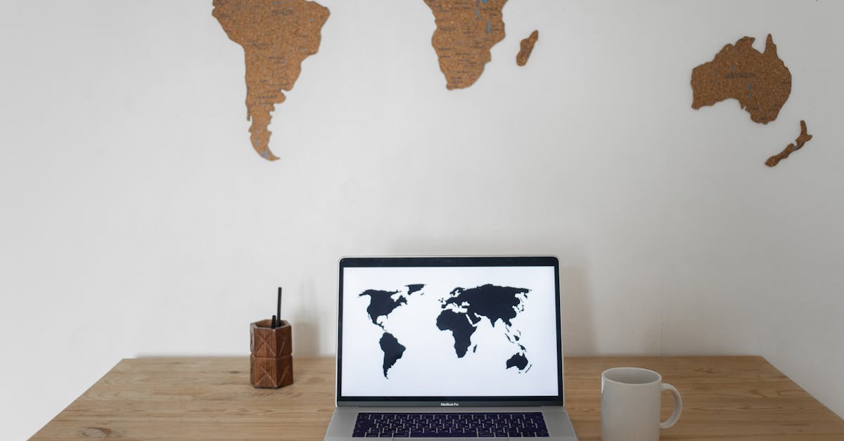
The decision affects official maps used by French diplomacy, as highlighted by 20 Minutes. While the Mercator projection remains widely used in navigation and online mapping services, its role in official government cartography is now being phased out in France.
What to watch next is whether other nations follow France's lead and adopt the UN's recommended projection for their own official maps.